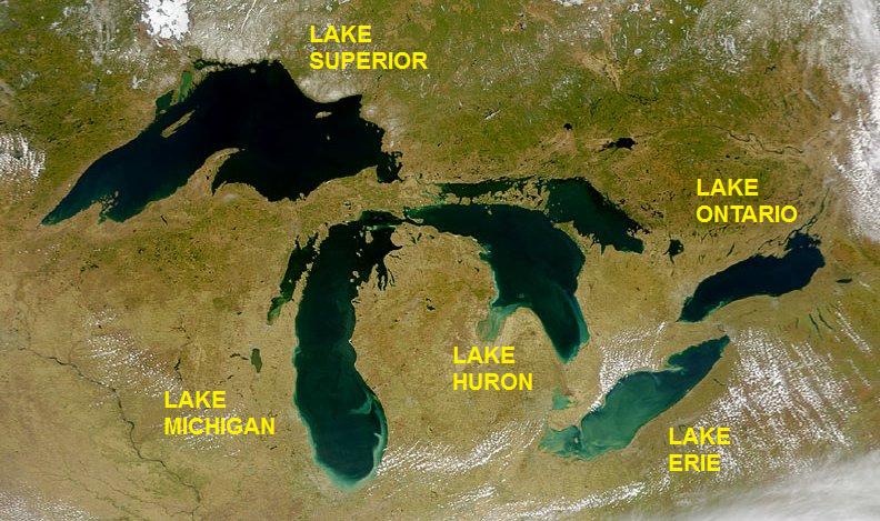
Georgian Bay sits within Lake Huron's eastern margin, separated from the main lake body by the Bruce Peninsula and the string of islands that runs from Killarney south toward Tobermory. Its eastern shoreline — sometimes called the "fresh-water coast of Canada" in nineteenth-century promotional materials — is defined by the exposed granite of the Canadian Shield, a broken landscape of inlets, islands, and narrow passages that made navigation difficult but created natural harbours where communities took root.
The Preconditions for Settlement: Timber and Fish
The first sustained non-Indigenous economic activity on Georgian Bay's eastern shore was the timber trade. White pine of the Muskoka and Parry Sound watersheds was accessible by river and, once cut, could be floated down to Georgian Bay's shore for loading onto lumber schooners. The town of Parry Sound, incorporated in 1887, grew directly from the intersection of the timber trade and the harbour infrastructure needed to move cut wood to markets further east and south.
Commercial fishing was the other founding industry. Lake trout, whitefish, herring, and pickerel were abundant in Georgian Bay into the late nineteenth century. Small fishing stations operated on many of the offshore islands — particularly in the 30,000 Islands region north of Parry Sound — where the cold, clear water supported large fish populations. Several of these island stations operated through the summer months only, with fishermen returning to mainland towns like Byng Inlet or Britt for the winter.
The Steamship Routes and the Towns They Built
As timber and fish required regular transport, steamship services developed along the eastern shore during the 1860s and 1870s. The Georgian Bay and Lake Erie Railway connection reached Collingwood in 1855, making that town at the southern end of the bay an interchange point between rail and water. From Collingwood, steamers worked northward along the shore and among the islands, delivering mail, provisions, and passengers to communities with no road access.
The Collingwood shipyard, established to supply vessels for this trade, eventually grew into one of Canada's significant inland shipbuilders. The steamship routes supported a set of small harbour towns — Penetanguishene, Midland, Victoria Harbour, Port Severn — each with docking infrastructure, warehousing, and the service trades that accompanied any working port. Midland became particularly significant as a grain terminus after the Canadian Pacific Railway connection was extended there in 1879, making it the primary transfer point for prairie grain moving through Georgian Bay toward the St. Lawrence.
The Georgian Bay Islands and Year-Round Habitation
A distinctive feature of Georgian Bay's coastal settlement pattern is the degree to which island communities sustained year-round populations into the twentieth century. On the larger islands of the Parry Sound district, families maintained permanent homes, fishing operations, and, in some cases, small sawmill operations. Communication with the mainland relied entirely on water transport for much of the year, with ice sufficient for crossing on foot or by horse during the coldest months.
The Canadian Coast Guard maintained a series of lights and fog signals among the 30,000 Islands to support navigation through the labyrinthine channel system. Many of these lights were staffed by resident lighthouse keepers who lived on the island stations year-round. The transition to automated lights, which proceeded through the 1960s and 1970s, ended the resident keeper model and, in some cases, accelerated the depopulation of islands that had supported small permanent communities.
Port Severn and the Trent-Severn Waterway Connection
At the southern end of Georgian Bay, the Severn River connects through the Trent-Severn Waterway to the Bay of Quinte on Lake Ontario. This 386-kilometre waterway, with its 44 locks and two marine railways, was completed by the Canadian federal government in 1920 after decades of incremental construction. It links the interior of Ontario to both Georgian Bay and Lake Ontario, and it passes through a string of small towns — Orillia, Bobcaygeon, Peterborough, Trenton — that grew up around the lock stations and the trade they facilitated.
Port Severn, at the Georgian Bay end of the waterway, remains the point where vessels enter or exit the system. The Big Chute Marine Railway — a carriage system that lifts vessels on a wheeled cradle and carries them up or down a steep incline — operates at one point along the route where the elevation change was too great for a conventional lock. Parks Canada operates the Trent-Severn Waterway as a National Historic Site, and recreational boating now constitutes the majority of the traffic it handles.
What Remains: Heritage Structures and Ongoing Documentation
The heritage landscape of Georgian Bay's eastern shore includes dockside warehouses, net-drying sheds, lighthouse keepers' dwellings, and the remnants of several sawmill operations. Many of these structures are on private land and receive no formal heritage designation. Others are within the boundaries of Georgian Bay Islands National Park or the Thirty Thousand Islands UNESCO World Biosphere Reserve, where they are subject to some level of documentation and site protection.
The Parry Sound District Museum maintains records relating to the commercial fishing and timber industries, including vessel logs, company records from several fish-packing operations, and oral history accounts collected through the 1970s and 1980s. The North Channel Library Cooperative has digitised portions of this material and made it accessible through its online catalogue. These records represent one of the more detailed primary-source collections relating to the working life of a Canadian freshwater coastal community.
References and further reading: Parks Canada — Trent-Severn Waterway National Historic Site · Parks Canada — Georgian Bay Islands National Park · Library and Archives Canada, RG 42 — Department of Marine records (lighthouse stations, Georgian Bay)